
DeBary ZIP Directory Coverage
Official research supports one core postal code for DeBary. ZIP 32713 covers the city, including the historic Fort Florida, Benson Junction, and Valdez areas, as well as most named neighborhoods. It is the sound starting point for ZIP-keyed records. The city spans about 25 square miles between the St. Johns River, Lake Monroe, Orange City, and Deltona. Postal delivery geography does not follow those municipal edges exactly.
| ZIP | DeBary area | Postal facility | Research status |
|---|---|---|---|
| 32713 | DeBary and its historic community areas | DeBary Post Office, verify current facility details | Core postal ZIP; compare parcel city and GIS boundary |
| 32753 | Not verified as a standard DeBary delivery area | No official facility located in the research | Do not treat as confirmed without an address-level USPS result |
Secondary references sometimes attach 32753 to DeBary, but the reviewed official sources did not confirm it as a separate, generally deliverable city ZIP. That uncertainty belongs in the record. Enter the exact address in the USPS ZIP Code Lookup before relying on 32753 or any postal code drawn from a directory.
Verify a DeBary ZIP Address
USPS answers the postal question: which city name, five-digit code, and delivery form belong on a piece of mail. It does not decide the taxing city, zoning authority, or parcel boundary. Enter the house number, street, city, and state as completely as possible. If the result differs from a saved contact list, use the USPS form for mailing and keep the older form as a clue for historic searching.
The official address form is visible in the USPS address lookup captured below.
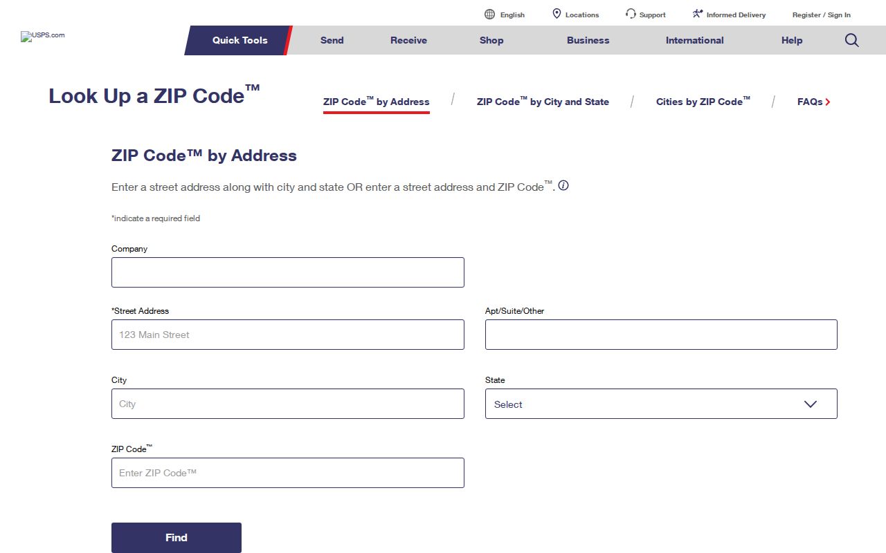
The screen shows why a complete address is more reliable than a city-name search. Save the standardized result, then compare it with county and city records instead of assuming every DeBary mailing address is within DeBary government limits.
Search DeBary Residents by ZIP
Several official sources can narrow records to 32713, although they answer different questions. The Volusia County Property Appraiser accepts ZIP with city, street, owner, subdivision, or parcel fields. Sunbiz has a separate ZIP search for entities. Voter files can be filtered after a lawful public-record extract is obtained. The public My Voter Page is an identity check, not a browseable block list.
- Verify the mailing code with USPS when a full address is available.
- Search the Volusia property roll by 32713, adding DeBary, a street, or an owner name to reduce results.
- Map likely parcels and check the situs municipality. Situs means the physical location, while the mailing address is where the tax notice goes.
- For voter analysis, request the current public extract and filter its nonexempt address fields by ZIP.
- Once the result set reaches a street, use the DeBary street directory method for address-level confirmation.
A ZIP-wide result is only a candidate list. A parcel owner may not live there, a business address may be a service address, and protected voter addresses will not appear. Cite the source and retrieval date when comparing lists that change over time.
DeBary ZIP Property Filters
The Property Appraiser is the strongest official ZIP code directory for land because its classic search combines geographic and name fields. The result can show a parcel key, owner name, mailing address, situs address, subdivision, exemptions, and sale information. Its export and mailing-list tools help with large result sets, but neither turns ownership into proof of residence.
| Search field | How it narrows 32713 records |
|---|---|
| ZIP | Limits the roll by postal code |
| City | Pairs the ZIP with the indexed city value |
| Street number and name | Reduces a broad ZIP result to an address or segment |
| Owner | Checks a named owner within the local roll |
| Parcel or Alternate Key | Returns a specific mapped property |
| Subdivision | Groups parcels by recorded development name |
Keep three address concepts apart. Situs is the physical site. Mailing is the correspondence address. The legal description, often subdivision, block, and lot, identifies the land even when street labels change. That distinction is vital for DeBary records that predate incorporation.
DeBary ZIP Voter Records
The Volusia Supervisor of Elections provides a self-lookup that generally asks for first name, last name, and date of birth. A match can return registration status, precinct, districts, polling information, sample ballot, and participation history. It never reveals ballot choices. This tool confirms one person; it does not publish everyone in 32713.
The voter lookup launch screen gives the direct individual route.
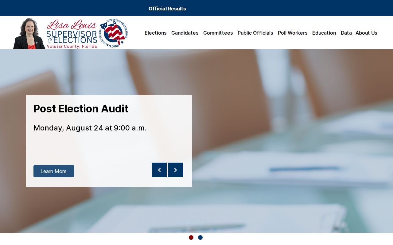
For ZIP-level research, use the county public-record request or the Florida voter extract request. The monthly statewide extract includes active and inactive voters through the prior month, subject to its update schedule and exempt-field suppression.
The state request screen below documents that separate access channel.
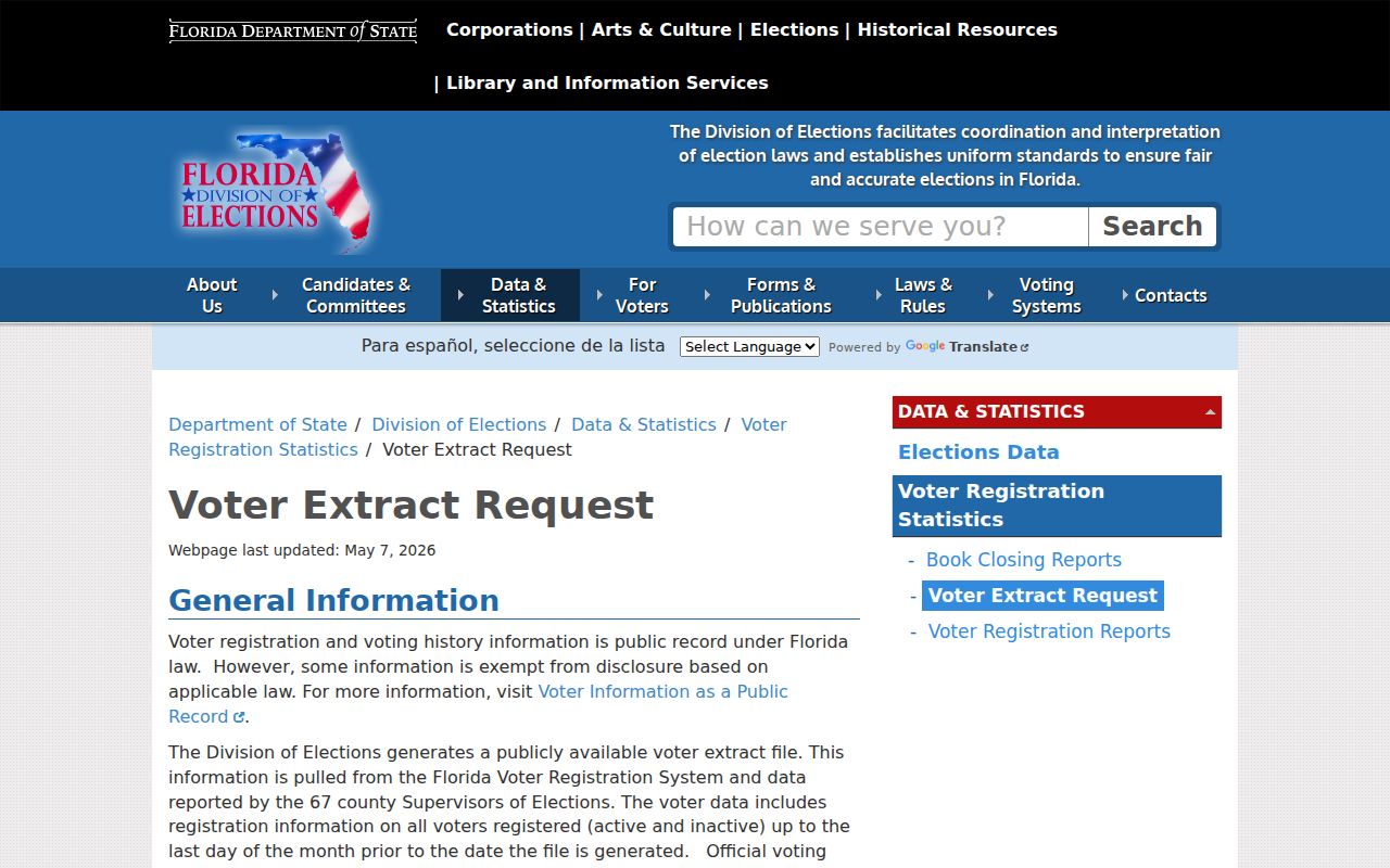
Request the file layout, snapshot date, Volusia scope, and desired electronic format. Florida protects Social Security and license numbers, copied signatures, preregistrant data, and qualifying addresses. Missing names do not prove an empty home.
DeBary ZIP Business Records
Sunbiz offers ZIP and street-address modes that make 32713 useful for finding public entity filings. A result may identify an entity name, status, document number, principal and mailing addresses, registered agent, officers, annual-report dates, and document images. The person tied to a filing may use a business, office, or service address, so the result is an affiliation clue rather than proof of a home.
Open the current annual report, note its year, then compare the business address with the parcel roll and local planning records. DeBary business-tax receipts or approvals can add a responsible party and category. When an online result is incomplete, Florida Public Records Law permits a focused request for existing, nonexempt city files.
A useful request names the entity or street, gives an approximate date range, identifies the existing record type, and asks for electronic delivery when available. City Hall can route municipal business-tax and planning material, while the Florida Division of Corporations remains the custodian for Sunbiz filings. If the ZIP search produces hundreds of entities, narrow first by street or status. Registered-agent addresses deserve special care because one agent can represent many unrelated companies. Compare the principal address, annual-report year, officer role, and parcel record before connecting a filing to a DeBary location.
DeBary ZIPs and City Limits
Postal DeBary, municipal DeBary, and the parcel taxing jurisdiction are different tests. The city incorporated on December 31, 1993, long after the area had mailing and community identities. A pre-1993 item may use Enterprise, Fort Florida, Benson Junction, Valdez, or unincorporated Volusia County. Today, use USPS for mail, the Property Appraiser's situs-city and millage fields for tax context, the Volusia GIS map for mapped context, and DeBary planning maps for municipal decisions.
- ZIP
- A five-digit USPS delivery area, not a city boundary.
- ZIP+4
- A more precise delivery segment added to the basic ZIP.
- PO-box ZIP
- A code used for post-office-box delivery rather than a mapped residential district.
- Unique ZIP
- A code assigned to one high-volume organization, when USPS establishes one.
- Carrier route
- A group of addresses served along one postal delivery route.
Boundary check. A 32713 mailing line does not by itself prove that DeBary City Hall governs the parcel. Confirm the situs and mapped boundary.
Neighborhood Eras Inside DeBary ZIP
DeBary's neighborhoods developed in distinct waves, and those dates help test a ZIP code directory result. Plantation Estates began in the 1950s. Meadowlea began in the 1970s. Orlandia Heights and Terra Alta grew from the 1970s through about 2000, while River Bluff Estates, Traderscove, and Summerhaven began in the 1980s.
St. Johns River Estates dates to the 1990s. Glen Abbey and DeBary Golf & Country Club grew chiefly in the 1990s and 2000s. Riviera Bella West and Springview Woods started in the 2000s; Riviera Bella East, Rivington, and Springwalk at The Junction are newer. A supposed early address in a later subdivision may reflect modern numbering applied to older land. Check the plat and legal description before treating the street form as continuous history.
The city's oldest residential areas sit near the U.S. 17/92 corridor between Plantation Road and the Dogwood Trail and North Pine Meadow Drive area. Historic landing routes and waterways can be better location clues than a modern ZIP. Search deeds, plats, county files, and regional directories with the older place names when a postal search fails. No verified citywide renumbering year was found, so do not invent one to explain a mismatch.
DeBary ZIP Civic District Clues
ZIP geography can also be paired with public civic records. DeBary's boards and commissions page identifies the Historic Preservation Board and Orlandia Heights Neighborhood Improvement District. These are public governance and contact sources, not household rosters.
The city boards page is captured below as a source for neighborhood district records.
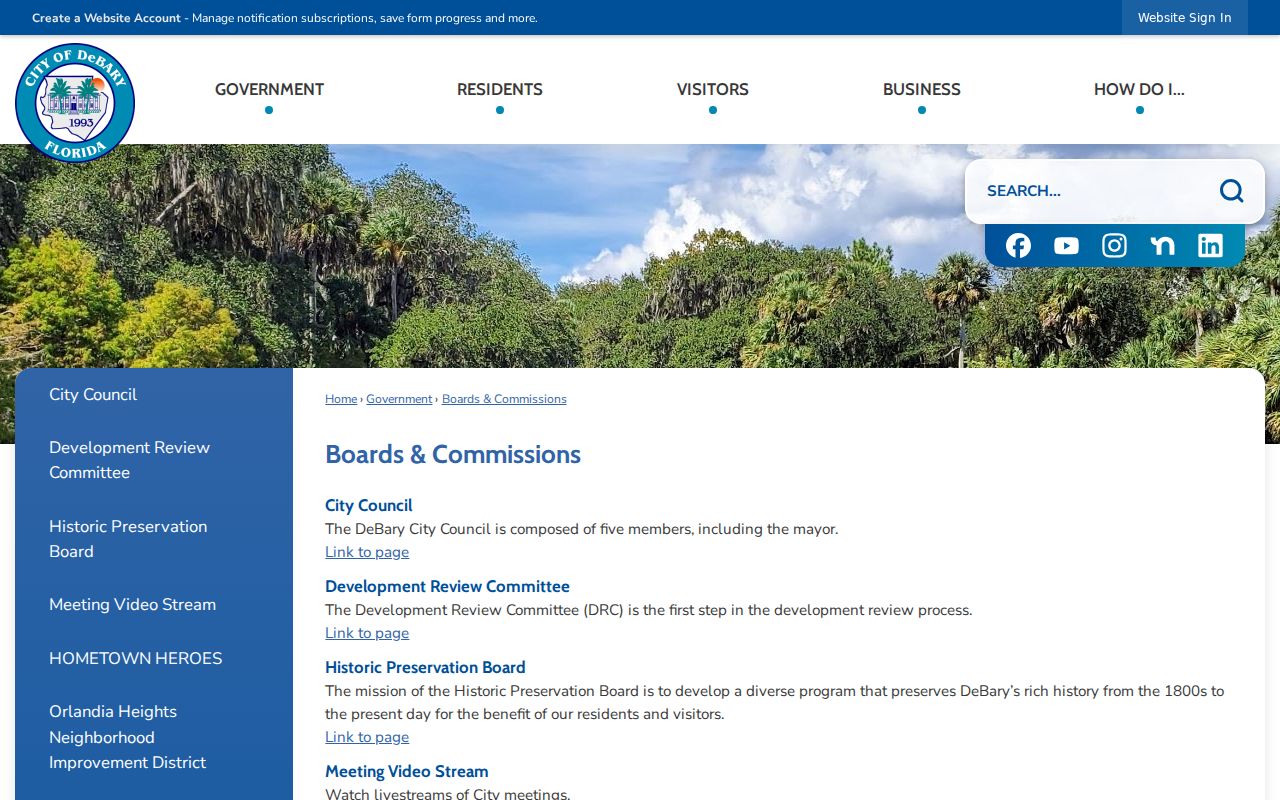
Use board agendas, permits, and district documents to understand an area within 32713. Do not infer that every nearby resident belongs to an association or appears in its public files.
The Florida elections forms page provides current registration and public-record exemption forms.
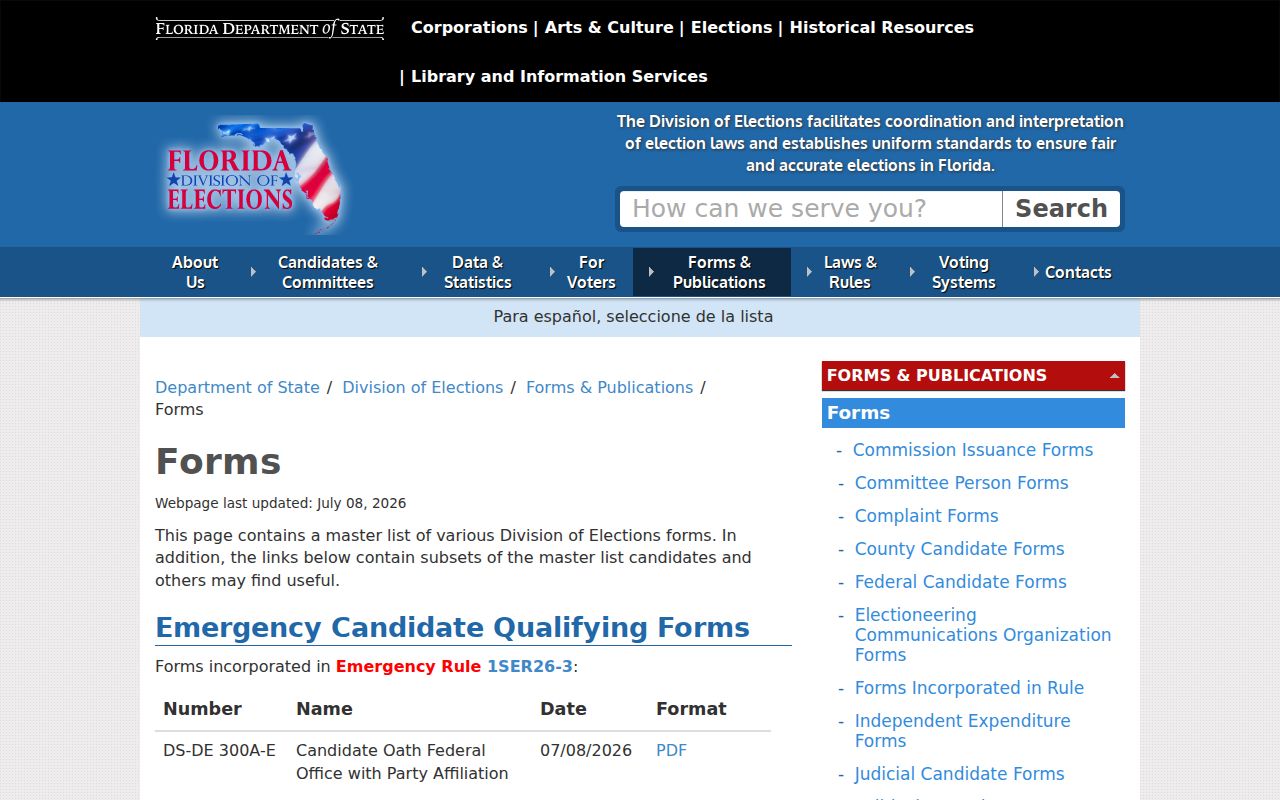
Those forms explain why a filtered ZIP file is never a complete census of DeBary residents. Protected fields and lawful updates shape every extract.