
Walk a DeBary Street
A street-by-street search should move from the present parcel to older records in a fixed order. The Volusia County Property Appraiser Real Property Search accepts a DeBary city choice, street number, street name, direction, suffix, unit, ZIP, subdivision, block, or lot. A result is an ownership record, not a household list. Keep its site address, owner mailing address, parcel keys, legal description, exemption clues, and sale instrument in separate notes.
- Search the address in VCPA and record the Short Parcel ID, Alternate Key, owner, and legal description.
- Open the county map, locate the same parcel, and pan along both sides of the road.
- Use the sale instrument in the Clerk index, then read the deed for parties and prior references.
- Request a lawful voter extract if street-level registration data is needed. Self-lookup cannot browse a road.
- Ask the library about regional reverse directories when the goal shifts to past occupants.
This order prevents a common error: treating ownership as proof of residence. It also gives the street directory a stable key. Names and labels change, but parcel and legal-description data let the same land be checked across systems.
DeBary Street Search Fields
VCPA is the strongest whole-street tool documented for DeBary. Selected results may be viewed on a map, exported to Excel, or made into a mailing list. Those controls create a real owner inventory without guessing from a commercial directory. Use the city filter because a postal label, city boundary, and taxing area can differ.
| Field | Useful entry | Purpose |
|---|---|---|
| Street | Number, direction, name, suffix, unit | Finds one site or road |
| Place | DeBary and ZIP | Limits broad matches |
| Parcel | Short ID or Alternate Key | Opens a known lot |
| Plat | Subdivision, block, lot | Bridges address changes |
| Land | Class or millage group | Shows tax context |
| Output | List/map, Excel, mailing list | Supports a street review |
The official property-search directions explain name format and wildcard use. Start broad with the street name. Add DeBary, a suffix, or number only when too many records appear.
See the fields on the official property form.
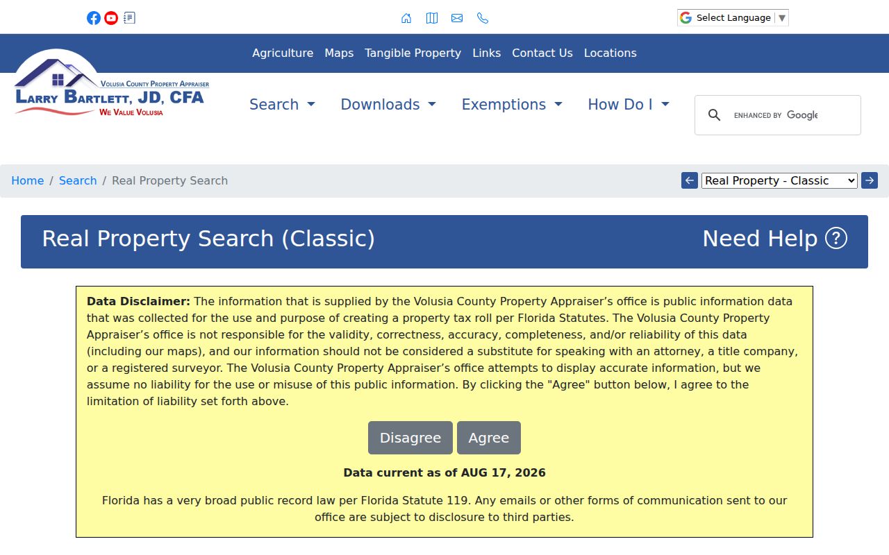
The form confirms that address, parcel, subdivision, ZIP, map, and export controls belong to the county search.
Read DeBary Parcel Terms
County tools use words that are easy to blur. Reading them well keeps an address search tied to the right land. A parcel card may also list values, sales, building traits, tax group, and exemptions. A homestead exemption can support an owner-occupancy clue for an assessment date, but never identifies all people in a home.
- Parcel
- A mapped unit of land with county identifiers and a tax record.
- Situs address
- The physical location, distinct from the address used to mail a tax notice.
- Plat
- A recorded subdivision map that fixes lots, blocks, and streets.
- Criss-cross directory
- A directory arranged by street and house number instead of surname.
When mailing and situs addresses differ, report the difference without drawing a firm conclusion. An entity may own the parcel, an owner may get mail elsewhere, and renters may not appear at all.
Map DeBary Street Parcels
The Volusia GRM Interactive Map accepts an address, tax parcel number, or street name. Matches appear in a side panel. Zoom and pan expose the street segment, while Layers adds land use, zoning, and other county context. The map combines sources at different scales and is not a survey.
| Search bar | Address, parcel number, or street name |
|---|---|
| Results | Matching locations beside the map |
| Layers | Land use, zoning, and other data |
| Parcel click | Selects a mapped feature |
The county GIS page shows the official route.
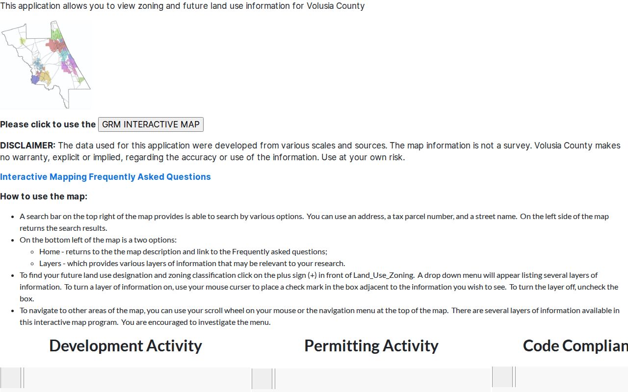
Use it to verify parcel position and municipal context before carrying a name into the deed index.
Note: A GIS line aids research, but only a survey settles an exact private boundary.
DeBary Records by Address
Each source answers a different question. A street directory is more reliable when sources are chained, not treated as duplicates. Volusia keeps property, deeds, plats, and voter data. DeBary keeps municipal planning, permit, and code files, while pre-incorporation files may sit with the county.
| Record | Keeper | What it shows | Access |
|---|---|---|---|
| Property roll | VCPA | Owner, situs, mailing, legal land, sales | Web and export |
| GIS | Volusia | Parcel, street, zoning, land use | Free map |
| Deeds and plats | Clerk | Parties, land, transfers | Web from 1988; counter from 1887 |
| Permits | DeBary | Work, dates, applicant | Citizenserve or request |
| Code cases | DeBary | Inspection, order, party | City request |
| Voter file | Elections | Nonexempt registration fields | Lookup or extract |
Florida voter files may include residence address, party, status, precinct, districts, and participation history, but never ballot choices. Protected addresses and identifiers are withheld. A missing record does not prove a home is empty.
Trace DeBary Street Owners
The Volusia Official Records inquiry is arranged by party name, instrument, book and page, or advanced criteria. It is not a postal street directory. Take the owner and sale instrument from VCPA, find the indexed deed, and compare its legal description with the parcel card. A grantor transfers an interest; a grantee receives it.
A hit may give instrument number, recording date, type, book and page, party names and roles, page count, and an image. The image may add a return address, preparer, signatures, legal description, and prior reference. New material can be absent until indexed and released.
The official inquiry screen shows the disclaimer and search route.
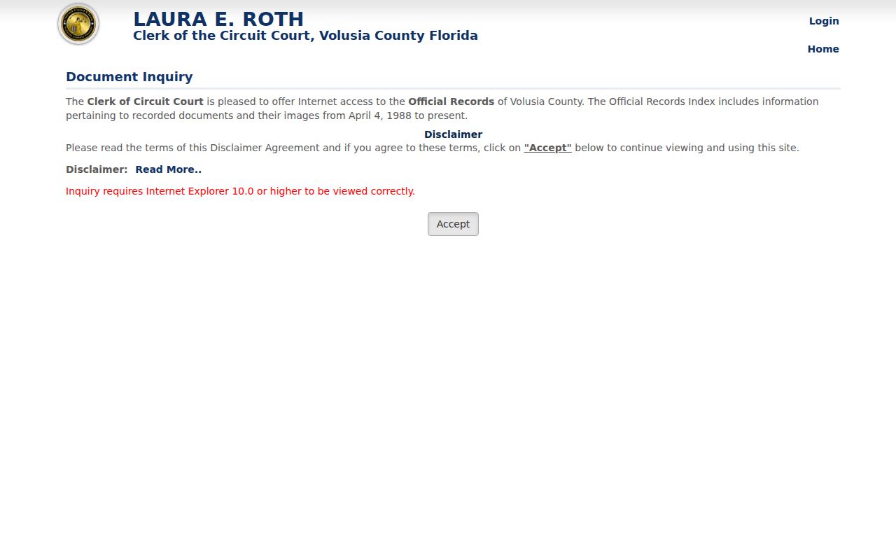
This index bridges a current owner to the deed chain. It does not prove everyone at that address.
DeBary Street Records Before 1988
The web is only one access channel. Released Official Records images and index entries begin April 4, 1988. Recording’s public research area in Courthouse Room A121 reaches 1887 through terminals, microfilm, and digital files. Original books may be reviewed by appointment through 386-736-5912. Staff explain equipment but do not perform title searches.
Web images can be printed free. Clerk copies cost $1 per page, certification is $2 per document, and cards carry a 3.5 percent provider fee. Save the index citation before ordering a record.
The Recording Department page documents coverage and access.
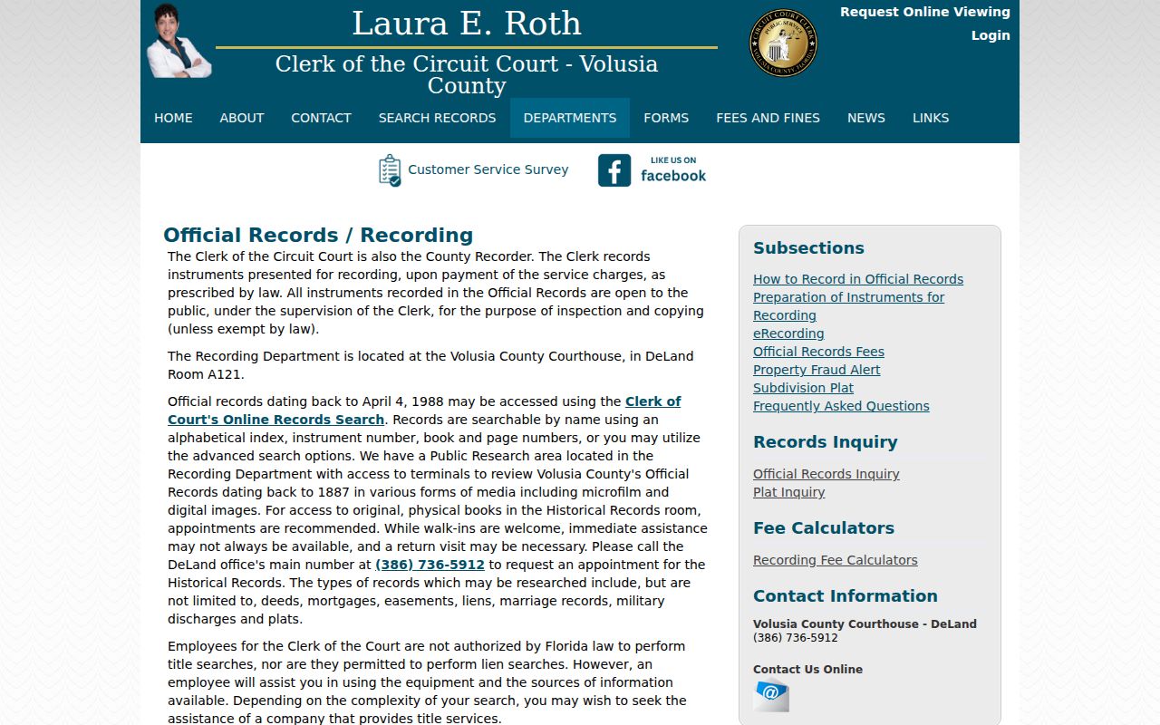
The split explains why an old DeBary deed can exist when the online search finds nothing.
Note: Keep the legal description in each citation so the chain survives a changed street label.
DeBary Permits Along Streets
Permits, planning cases, variances, site plans, and code files add dated activity. DeBary moved Growth Management submissions to Citizenserve and stopped paper applications on January 1, 2024. Published records remain public, while older material may need a focused request.
Use the applications, forms, and maps page. If no file appears, ask for the address, parcel ID, date range, and permit type. Under Florida Public Records Law, an oral, email, mail, or portal request can be valid when it identifies the records well enough.
Permits date work, not continuous occupancy. They may name an applicant, owner, or contractor once, so compare them with parcel and deed records.
Older DeBary Street Labels
DeBary incorporated December 31, 1993. Earlier addresses may appear under Enterprise, Fort Florida, Benson Junction, Valdez, or unincorporated Volusia County. No official citywide renumbering year was found. The safe bridge is subdivision, lot, block, parcel key, and legal description.
Development dates test a claim. Plantation Estates began in the 1950s, Meadowlea in the 1970s, and River Bluff Estates, Traderscove, and Summerhaven in the 1980s. Glen Abbey and DeBary Golf & Country Club grew chiefly in the 1990s and 2000s. A very old address in a newer subdivision may be modern numbering placed on older land.
The oldest residential areas lie near U.S. 17/92 between Plantation Road and Dogwood Trail or North Pine Meadow Drive. The corridor from Plantation Road to Shell Road North includes the Village Center and Highbanks Node overlays. Around SunRail, the transit-oriented development district dates to 2010. These boundaries can explain why planning evidence for one parcel moves between a county file, a city file, and a newer map layer. Infrastructure files offer another dated source: assessment lists, notices, plats, and utility plans for septic-elimination work can create address snapshots in DeBary Plantation, Lake Marie Estates, Plantation Estates, St. Johns River Estates, Summerhaven, and Surrey Run.
For past occupants, use the DeBary city directory collections after fixing the parcel. Search nearby community labels, not only the modern city name.
DeBary Street Directory Limits
A tax owner, deed grantee, permit applicant, or voter is not a full household. Renters, children, relatives, and other occupants may be absent. Mailing data can point away from the site. Voter self-lookup requires identity facts, while street-level data needs a lawful extract with exempt fields removed.
Commercial tools can merge names or carry an old address forward. Official sources also change, but they identify a custodian, date, and correction route. Record when each item was retrieved and verify key facts with the office holding them.
Lawful use. DeBary address records support legitimate personal, family, property, and civic research. Never use them to stalk, harass, threaten, or harm anyone.
The strongest result is modest: state what a record showed on a given date, keep owner and occupant apart, and leave protected residents protected.